
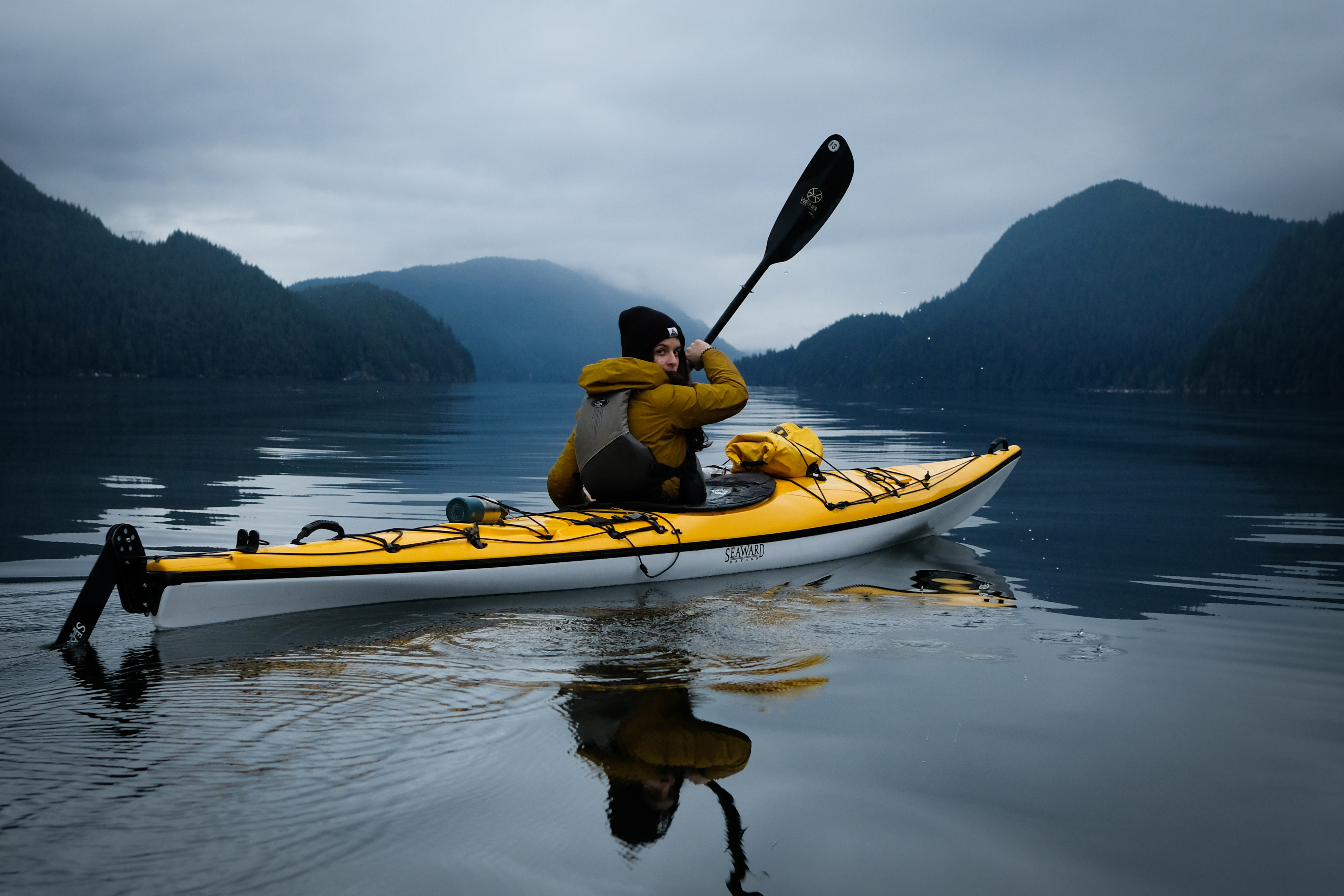
Southwest British Columbia offers some incredible kayaking opportunities, and it can sometimes be hard to know where to start as a beginner. In this article, I will focus exclusively on sea kayaking. Lakes are a great option for learning in protected waters, but here I’ll cover areas I know well, routes I’ve traveled multiple times, and places I think are perfect for an overnight trip.
But first, let’s talk about safety.
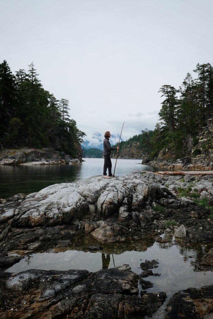
Beginner-friendly waters don’t come without risks. Sea kayaking involves dealing with winds, currents, and tides, even in protected areas. Additionally, British Columbia’s waters are cold, even in the summer. Hypothermia is the number one risk on multi-day sea kayaking trips, so preparation is key. Make sure to:
- Check the weather forecast and the tide tables.
- Bring the mandatory safety gear: a PFD, heaving line, sound signaling device, compass, and navigation lights if paddling at night.
- Leave a float plan with a trusted person (someone not on your trip).
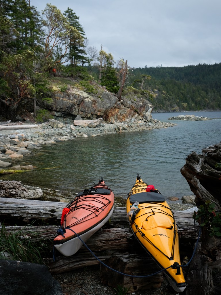
If you rent a kayak, the staff will ensure you’re equipped with the proper gear and will ask you about your knowledge of assisted rescues and your float plan. You may also need to purchase dry bags to keep your belongings safe from the saltwater.
You can find more about safety, gear and preparation in this article.
1. Indian Arm, North Vancouver
📍Territory of the Tsleil-Waututh First Nation.
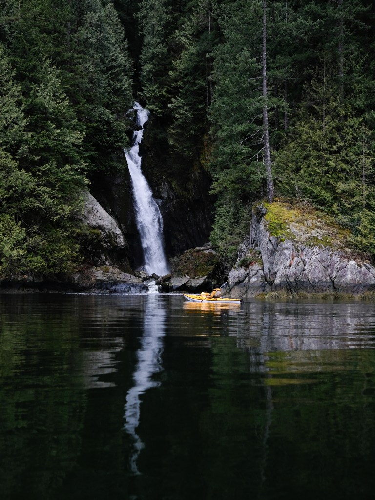
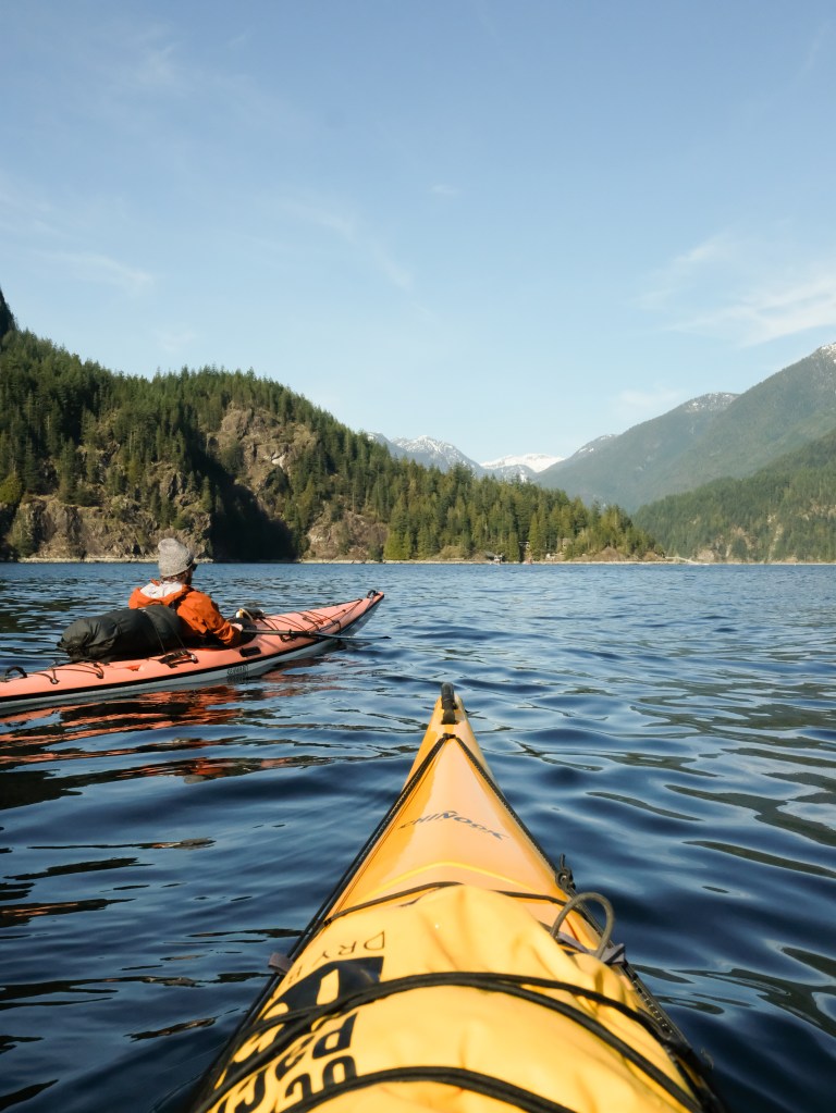
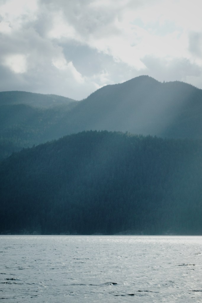
Indian Arm, or Say Nuth Khaw Yum, is an 18-km-long fjord nestled in the North Shore Mountains. It extends north from Burrard Inlet in Vancouver and features islands and waterfalls along the way. The calm waters, low currents, and proximity to Vancouver make it an ideal spot for beginner kayakers looking to experience an overnight trip.
Where to launch from
You can launch from Deep Cove or Belcarra Regional Park. There’s little difference in terms of trip length. Having lived in North Van, I often launched from Deep Cove’s public beach, which was very convenient. The parking lot near the beach is free .
You can rent kayaks at Deep Cove Kayak Centre or Belcarra Paddle Centre (Takaya).
Where to camp
I recommend Granite Falls, located at the end of the inlet on the East shore (18km from Deep Cove). The Falls are breathtaking, the location is remote, and it’s only a four-hour paddling trip (not including stops). Other campsites along the way include Twin Islands (5km from Deep Cove), which offers amazing views of the fjord and mountains. The campsites are on the Northern Island. Another option is Berg’s Landing, 15 km from Deep Cove on the West shore.
Please note: campfires are not permitted at any of the campsites.
Route ideas
Day 1: Launch from Deep Cove in the morning. Stop at Twin Islands for lunch and a swim. Paddle along the East Shore to reach Granite Falls for the night.
Day 2: Leave your campsite in the morning, paddle south to Croker Island, then along the West shore of the inlet back to Deep Cove. Stop at Silver Falls along the way.
Things to love
- Beautiful Jug Island
- Shallow waters between the Twin Islands, perfect for observing sea life.
- Silver Falls, a stunning waterfall accessible only by water.
2. Sechelt Inlet, Sunshine Coast
📍Territory of the Shíshálh Nation (Sechelt Nation).
Sechelt Inlet is a kayaker’s paradise, stretching north from Sechelt to Jervis Inlet and forming the Sechelt Peninsula. It features two side inlets, Salmon and Narrows Inlets. While the winds can pick up in the afternoon, the area is generally calm, and the short distances between beaches make it a great option for beginner kayakers wanting to do an overnight trip.
Where to launch from
If you own your kayak, you can launch from Lamb Bay Beach on the East shore (about a 10-minute drive from Sechelt). If you’re renting, I recommend Pedals and Paddles (conveniently located and very friendly team), or Halfmoon Sea Kayaks, (run by an adorable couple, and a great option if you don’t have a car, as they are based in Sechelt).
Where to camp
The area has nine campsites: Tuwanek Beach, Oyster Beach, 9-mile Beach, Piper Point, Halfway Beach, Kunichen Point, Kunichen Bay, Thornhill Creek, and Tzoonie Narrows. I suggest stopping at Tuwanek Beach for lunch, then continuing north to camp at 9 Mile Beach or Tzoonie Narrows, depending on where you launch from. Tuwanek is about a half-hour paddle from Pedals and Paddles or Lamb Bay; 9-Mile is about an hour, and Tzoonie is roughly a 6-hour paddle.
I prefer the campsites on the East shore (Tuwanek, Oyster, 9-Mile) for sunset views. Tzoonie offers spectacular views, but unless you’re a strong paddler, it’s better suited for a two-night trip. Thornhill Creek is located in Salmon Inlet and should be avoided by beginner kayakers due to stronger winds and its remote location.
Pedals and Paddles’ website offers good information about the different campsites and travel distances.
Things to love
- The hidden waterfall at Tuwanek Beach (it’s not exactly hidden, but it’s not visible from the shore).
- The “Aquarium” near Tuwanek Point: shallow waters teeming with marine life.

3. Copeland Islands, Sunshine Coast
📍Territory of the Tla’amin, Klahoose and Homalco First Nations.
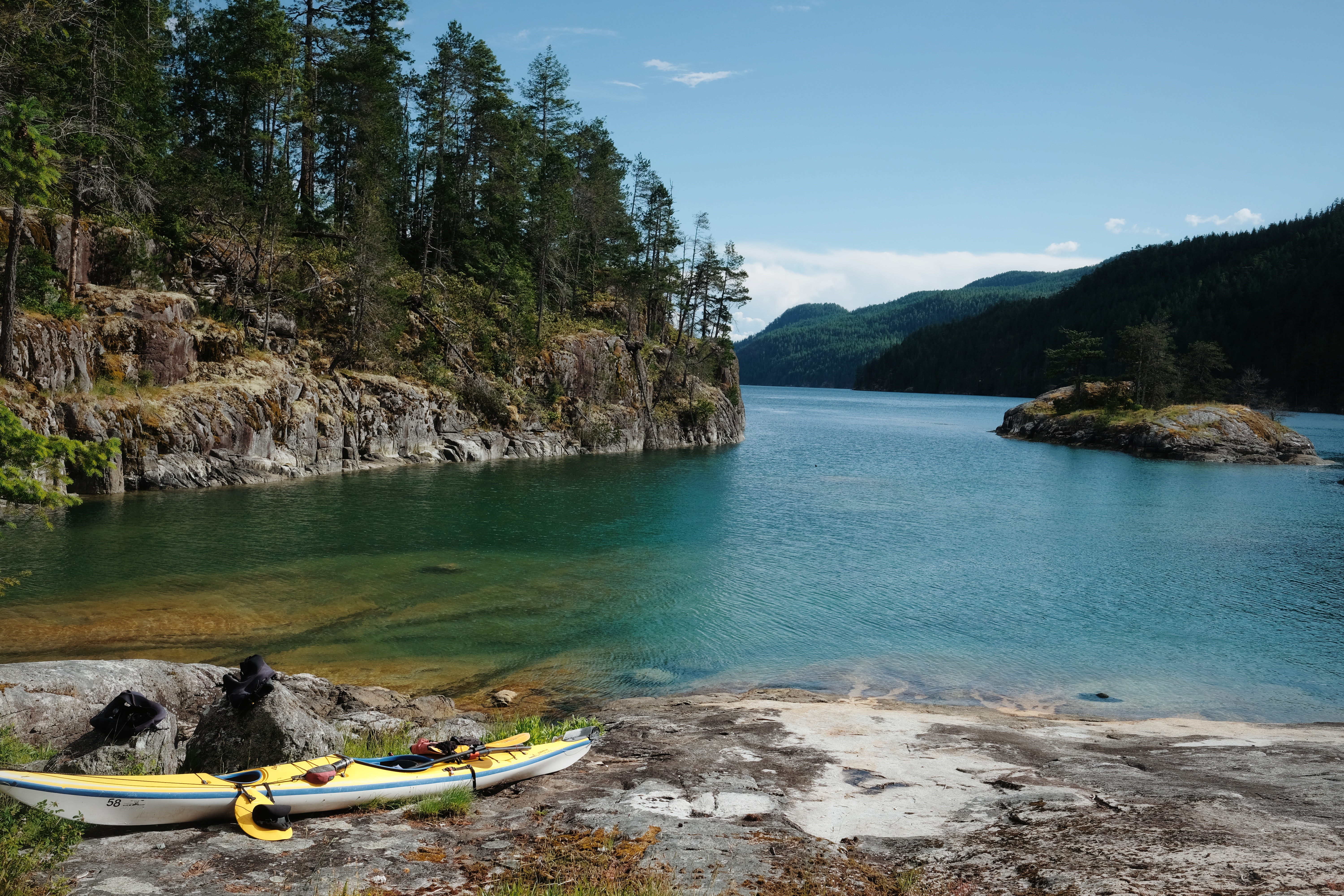
The Copeland Islands are a small chain of islands located northwest of the Malaspina Peninsula. They’re separated from the mainland by Thulin Passage, a quiet waterway ideal for paddling and observing marine life. The islands are popular in the summer and serve as a known stopover between Lund and Desolation Sound.
Where to launch from
TLund, a small fishing village, is the nearest launch point. There’s a $5 fee per kayak at the public boat launch. Lund is about an hour from Powell River, on the upper Sunshine Coast. There’s a great bakery and a general store with an ATM in town.
You can also rent kayaks from Terracentric Coastal Adventures.
Where to camp
The Copeland Islands are part of the Copeland Islands Marine Park, which requires campsite fees. There are two backcountry campgrounds: one on Middle Copeland Island and one on North Copeland Island. I prefer the North Island for sunset views, though Middle Island is quieter. North Island has about 20 campsites with tent pads.
Things to love
- The shallow waters between the islets and rocks, perfect for exploring.
- A sunset over the Strait of Georgia.

4. Desolation Sound, Sunshine Coast
📍Territory of the Tla’amin, Klahoose and Homalco First Nations.
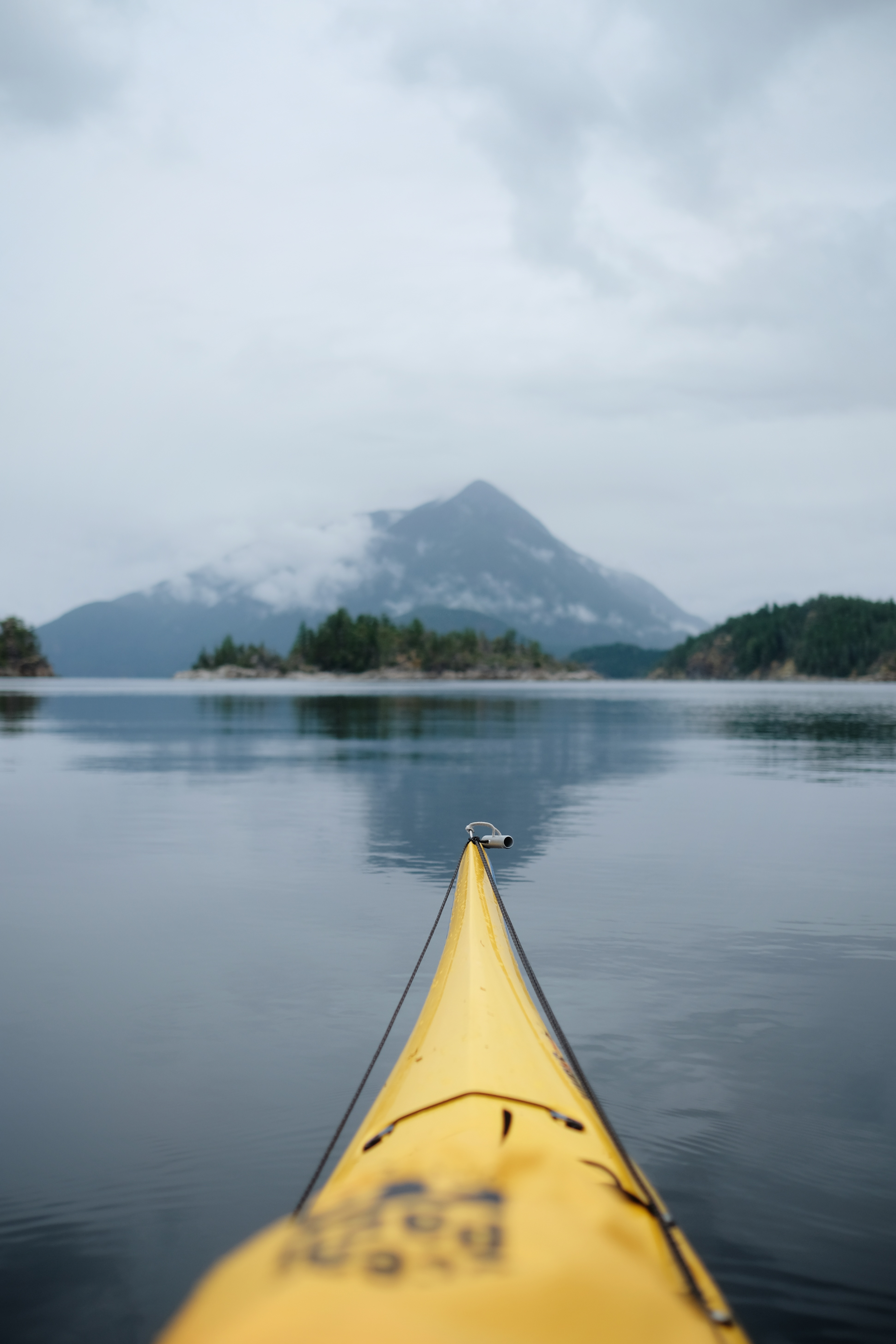
Desolation Sound is a top kayaking destination and an ideal stop for beginners. However, to fully appreciate the area, I recommend staying more than one night. If you’re traveling from Vancouver to the northern part of the Sunshine Coast, a two-night stay is worth it. Desolation Sound is protected, secluded, and a true paradise. With warmer waters, abundant wildlife, and dramatic views, this place will make your trip unforgettable.
A complete guide to kayaking Desolation Sound
Where to camp, itinerary ideas, what to pack and safety basics.
Prepare for your upcoming kayaking adventure.
Where to launch from
The easiest access to Desolation Sound is via Okeover Inlet, but you can also launch from Lund and travel via the Copeland Islands (as mentioned earlier).
If launching from Okeover Inlet, be sure to consider the tides and wind when planning your trip. An outgoing tide will make the journey north to Desolation Sound smoother, though currents in the area are generally mild. Wind is a more significant factor, so be mindful of strong winds when heading back into the inlet.
If you start from Okeover, you can rent kayaks at Powell River Sea Kayak (I rented with them before, they are knowledgeable and flexible). From Lund, you can rent kayaks at Terracentric Coastal Adventures.
Where to camp
For an overnight trip, I recommend Feather Cove or Sarah’s Point. Both offer stunning views of the Sound, but Sarah’s Point is particularly well-suited for sunset views. Hare Point, located at the northern end of Malaspina Inlet, is another option, though it’s less scenic and a bit too close to the launching point.
If you have extra time or are an experienced paddler, consider camping on one of the Curme Islands. The views here are even more dramatic, and the warm, shallow waters make it a great spot for swimming.
These campgrounds are part of the Desolation Sound Marine Park, and campsite fees are required.
Route ideas
Check out my Desolation Sound Kayaking guide for route ideas.
Things to love
- The Curme Islands for swimming.
- A sunset at Sarah’s Point.

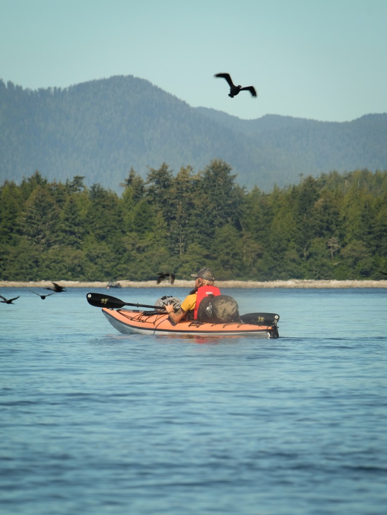
5. Meares Island, Tofino
📍Territory of the Tla-o-qui-aht First Nation.
Several islands in Clayoquot Sound are easily accessible from Tofino Harbour, and Meares Island is one of the largest, home to some of the oldest trees in BC. The Big Tree Trail, a 1.2 km loop, is a beautiful boardwalk trail worth visiting. Though it can get busy with visitors taking taxi boats from Tofino, it’s a must-see.
Vargas Island is another excellent overnight destination, though I’d suggest a multi-day trip to fully explore its many beaches and enjoy sunsets on the west coast.
Where to launch from
There are various places to launch your kayak, though some locations charge a fee, and parking can be tricky, especially for overnight stays in Tofino. Plan ahead to ensure a smooth experience. Public launch sites include the kayak access at the bottom of First Street, Crab Dock, 4th Street Dock, and Grice Bay further south (though this will extend your trip to Meares).
If you rent a kayak, you can launch from the rental company’s private dock or beach and pay for overnight parking. Before owning my own kayak, I rented from Paddle West. They’re great at helping plan trips and providing useful local info.
Where to camp
Clayoquot Sound offers several camping options, though note that a permit is required to camp in Ahousaht territory. The cost is $15 per person per day, payable directly to the Ahousaht or through your kayak rental company.
Most campsites are wild camping sites without facilities. On Meares Island, you’ll find sites like Heelboom Bay and Roberts Point, the latter being a prime spot for sunset views. For a multi-day trip around Clayoquot Sound, I suggest a 3-day circumnavigation of Meares Island, with overnight stays at Heelboom Bay, Mosquito Bay, and Roberts Point.
Wilderness camping is permitted on Vargas Island, but you’ll also need a permit from the Ahousaht First Nation. The island’s East Coast is protected and beginner-friendly, while paddling the West Coast should only be attempted by experienced kayakers. Be aware that Vargas is wolf territory—sea wolves have been known to open kayak hatches searching for food. Food caches are available at various spots on the island, including Medallion Beach, Rassier Point, Miltes Beach, Dick & Jane Beach, The “Fingers,” and Ahous Bay.
Things to love
- Big Tree Trail on Meares Island, and the local history.
- Sandy beaches on Vargas Island
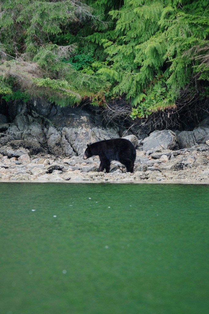
- Sea otters
If you have any questions about one of these destinations, let me know in the comments! Happy kayaking!
